How to Import GIS Data (Shapefiles) | Civil 3D
Importing shapefiles has never been easier! In this example we will import shapefiles, check out a certain plot of land and use the parcel to layout a subdivision concept plan.
- Drag and drop Shapefiles onto your screen. (If your coordinate zone is already pre-set, it should project/re-project as needed.)
-
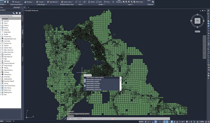
To bring up your task pane: Key in "MAPWSPACE" and turn on your taskpane.

- To show a data table: Select a parcel, right click and select "Show data table".
-
From here you can do a filter:
- Filter by "PARCELID"
- Key in a parcel you want to use, right click on it in the data table and zoom into it
- Right click on the map object and select "Check out Feature". This will allow you to use it as a Polyline and then turn it into a parcel.
- From here, you can explode it and explode the features around it.
Optional: You can also get rid of the TaxParcel by removing the layer.

If you would like to see the full video tutorial, please visit our YouTube channel by clicking the video below.